Ministry of Housing and Urban Affairs (MoHUA) has recently launched the ‘e-Dharti Geo Portal’ which will integrate legacy drawings such as maps and lease plans in the management information system. It will allow the data to become geographic information system (GIS)-enabled. The project involves application of National Informatics Centre’s (NIC) GIS and Utility Mapping Services.
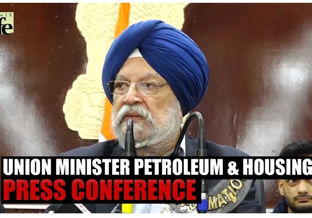
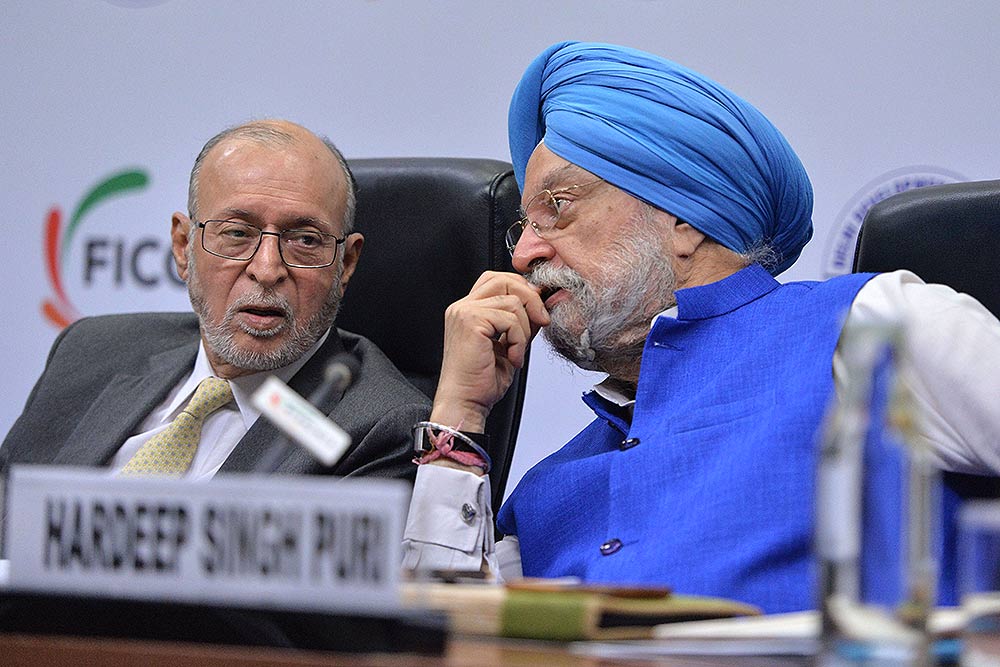
The launch event saw the presence of Hardeep Singh Puri, Housing and Urban Affairs Minister, DS Mishra, Secretary, MoHUA and Dr Neeta Verma, DG, NIC.
Hardeep Singh Puri said that the Land & Development Office (L&DO) is dealing with around 60,000 properties that are commercial, residential, industrial as well as institutional.
The ministry issued in a statement that the L&DO has developed a property certificate incorporating details and the outline map of the property which is available online on the portal.
The statement added that the power of technology is immense and there is no reason that India, which has a formidable capacity in the area of software technologies, cannot or shouldn’t harness this strength to their advantage.
The Union Minister stated that the move is expected to integrate legacy drawings such as maps and lease plans in the management information system (MIS), namely e-Dharti, and make it GIS enabled.
Union Housing and Urban Affairs Secretary Durga Shanker Mishra, Land & Development Officer Amit Kataria and other senior officers of the ministry were present at the online event.
The statement mentioned that the certificate to be offered includes property details like land type, property type, date of allotment, property status, sub-type, plot area, date of execution of lease deed, property address, details about present lessee and litigation status among others.

देश में एक करोड़ यात्री प्रतिदिन कर रहे हैं मेट्रो की सवारी: पुरी ..

Union Minister for Petroleum and Natural Gas and Housing and Urban Affairs, Hardeep Singh Puri addressing a press conference in ..

Joint Press Conference by Shri Hardeep Singh Puri & Dr Sudhanshu Trivedi at BJP HQ| LIVE | ISM MEDIA ..
(3).jpg)
"I wish a speedy recovery to former Prime Minister Dr Manmohan Singh Ji. God grant him good health," Puri wrote. ..